Safer access
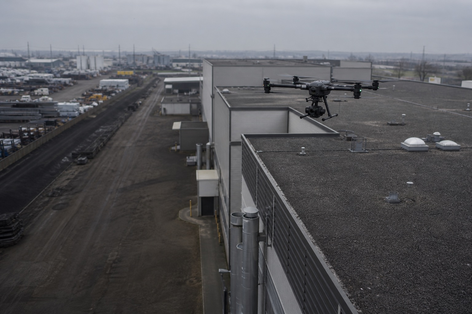
Collect visual information from difficult or elevated areas while reducing unnecessary exposure.
Field intelligence · South Texas
Terravex provides professional aerial imaging, inspection, thermal, mapping, and field-data services for commercial operations, construction, ranches, properties, and emergency environments.
Inspect.
Document.
Understand.
Operational value
The aircraft is a tool. The outcome is a clearer view of the conditions, assets, and decisions that matter.
Collect visual information from difficult or elevated areas while reducing unnecessary exposure.
Evaluate large properties, sites, infrastructure, and operating areas efficiently.
Create consistent visual records for planning, progress, incidents, and decisions.
Turn aerial imagery, thermal information, and mapping data into useful deliverables.
Core services
Each mission begins with the operating problem, the site, and the deliverable—not a one-size-fits-all flight package.
Professional aerial imagery for difficult-to-access assets, facilities, roofs, structures, and active operating environments.
↗Consistent aerial records for progress, coordination, stakeholder visibility, and project closeout.
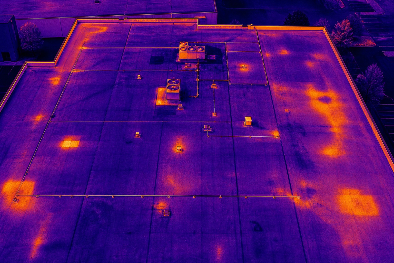
↗Thermal aerial imagery used to identify heat signatures and anomalies where the technology is appropriate for the application.
↗Orthomosaics, site imagery, models, and aerial data collection for visualization, documentation, planning, and analysis.
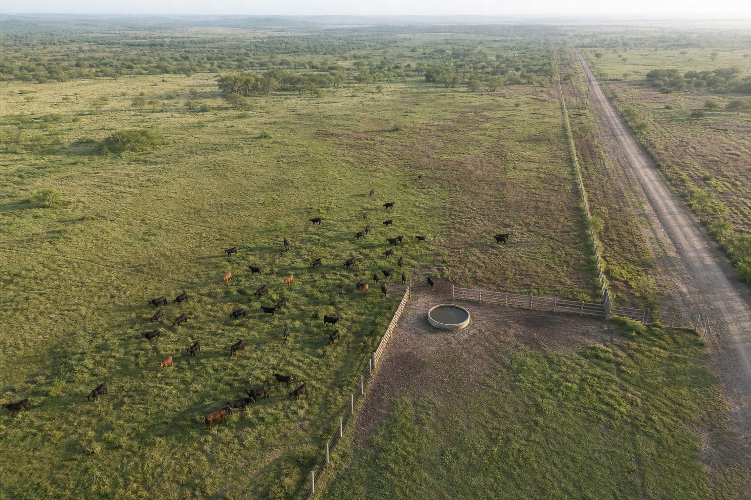
↗Large-property observation for livestock locating, herd counts, pasture visibility, fence lines, and water infrastructure.
↗Time-sensitive aerial documentation for storm damage, incidents, property conditions, and situational awareness.
↗Industries served
Clear visual records of assets, facilities, structures, and operating conditions.
Repeatable site documentation that helps teams see progress and preserve project records.
Faster visibility across livestock, pasture, fence, water, and large-property conditions.
Roof, exterior, and site imagery collected from a safer, broader vantage point.
Time-sensitive documentation and field visibility for authorized incident support.
Secondary-market support for situational awareness, search, and incident documentation.
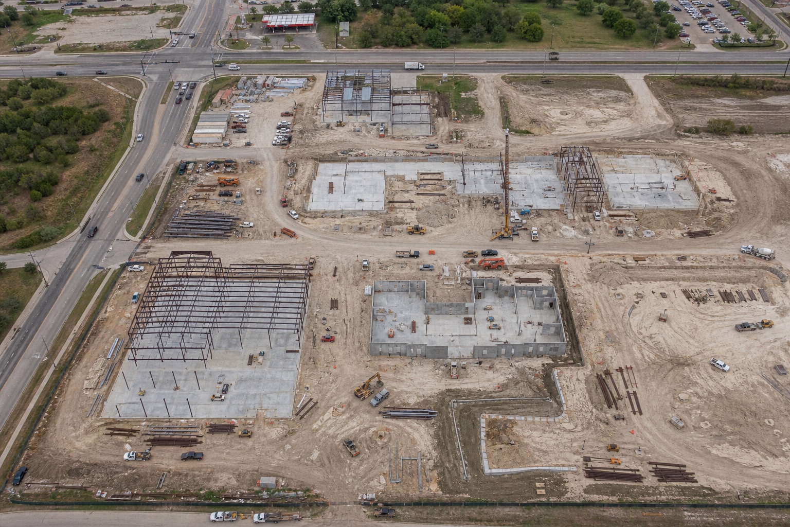 Application-driven aerial operations
Why Terravex
Terravex is founder-led and grounded in safety-sensitive work, emergency environments, commercial drone operations, and disciplined project delivery.
How it works
Describe the site, problem, desired information, and timing.
We review scope, location, airspace, conditions, deliverables, and operating requirements.
The mission is planned and conducted under the appropriate operational requirements.
The agreed imagery, documentation, data, or report is delivered in the defined format.
Featured applications
These application areas are structured for future Terravex project photography and case documentation.
01Visual collection planned around the site, operating conditions, and required output.
02Visual collection planned around the site, operating conditions, and required output.
03Visual collection planned around the site, operating conditions, and required output.
 04
04Visual collection planned around the site, operating conditions, and required output.
05Visual collection planned around the site, operating conditions, and required output.
 06
06Visual collection planned around the site, operating conditions, and required output.
07Visual collection planned around the site, operating conditions, and required output.
08Visual collection planned around the site, operating conditions, and required output.
Start with the problem
Tell us what you need to inspect, document, locate, or understand. We’ll help determine whether an aerial mission is the right solution.
Discuss Your Project